Cooling air to saturation
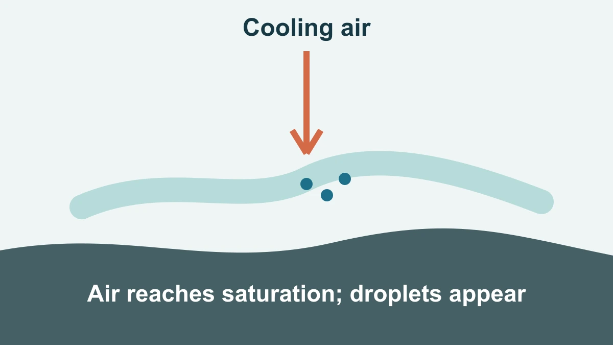
Fog is not a different substance from a cloud. It is a cloud whose tiny liquid droplets are suspended close enough to the surface to reduce what people can see. The key change happens when air near the ground reaches saturation: at that temperature and pressure, it is holding as much water vapour as it can without some of that vapour condensing into liquid droplets.
Air can reach that point by cooling, by gaining moisture, or by a combination of both. In many familiar fog events, the near-surface air cools until its temperature meets the dew point, the temperature at which saturation occurs. The resulting droplets are small enough to stay aloft for a while, so they make a pale layer rather than falling immediately as rain.
The word saturation does not mean the air has become full of liquid water. Most of the water is still invisible vapour, and the threshold changes with temperature. Cooling therefore matters: air that was comfortably below saturation in the afternoon can reach it later even when no new water arrives from above.
This is also why a low cloud can seem to arrive suddenly even when the air changed gradually. The temperature need only cross a threshold for droplets to begin forming. The visual effect depends on how many droplets are suspended and how deep the saturated layer becomes, not on the air acquiring a new kind of water.
Two routes to low cloud
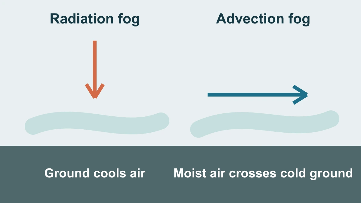
Radiation fog is one common route. On a clear, relatively calm night, the ground can lose heat to the sky. The air immediately above the ground cools with it, and if that cooling brings the air to saturation, fog can develop from the surface upward. This is a mechanism, not a promise that fog will form on any particular night; cloud cover, wind, moisture and local terrain all matter.
Advection fog reaches saturation differently. It can form when relatively warm, moist air moves horizontally across a colder land or water surface. The air is cooled from below as it travels, so its water vapour can condense. The National Weather Service uses this contrast to distinguish advection fog from radiation fog: both make a low cloud, but the path that cools the air is different.
Neither label describes a fixed visual appearance that can identify every event from a photograph. The names describe the dominant formation route. A real fog episode can also be shaped by local wind, terrain and moisture, so the useful question is how the near-surface air reached saturation rather than which label sounds most familiar.
Why fog can clear
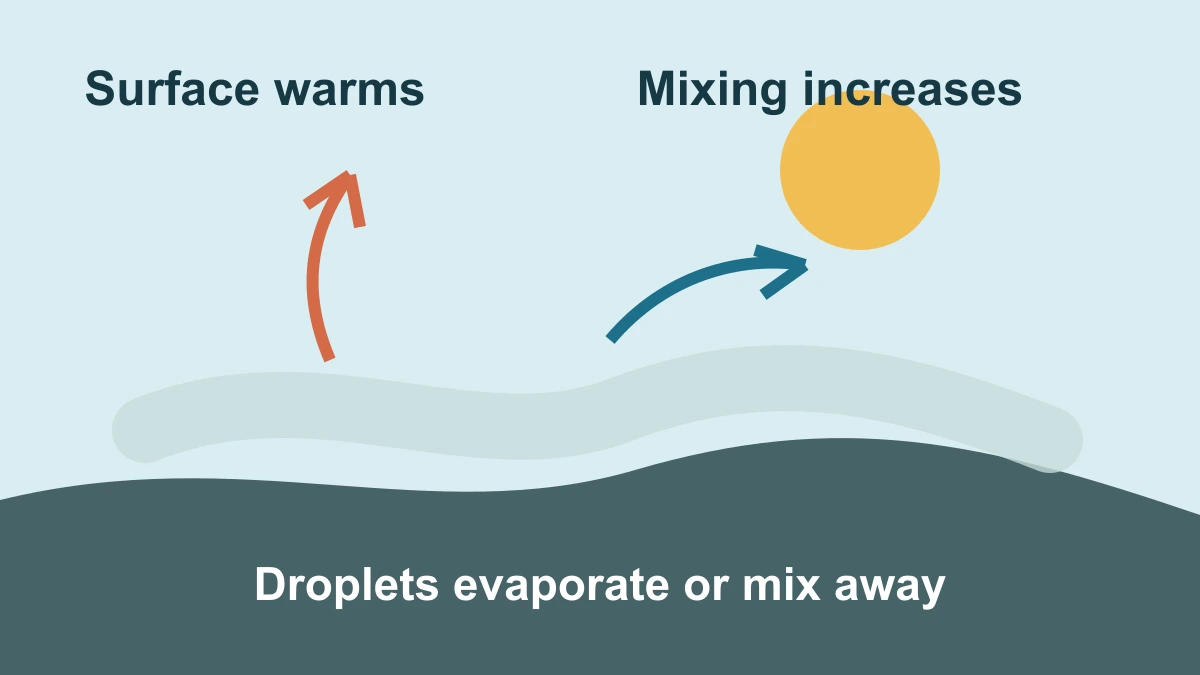
Fog can thin or disappear when the balance changes. Surface warming can raise the temperature of the nearby air so that it is no longer saturated; some droplets then evaporate back into invisible water vapour. Mixing can also spread the droplets and the moisture through a deeper layer of air, reducing the concentrated cloud at ground level.
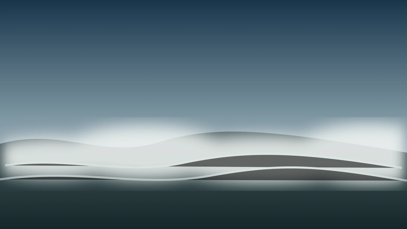
The reverse can also happen if cooling continues or new moisture reaches the surface layer. That is why fog is best understood as a balance between temperature, water vapour and air movement. The illustrations show these relationships, not a sequence guaranteed to occur in every place or at every time of day.
Freezing fog names what can happen after droplets have formed: they can remain liquid while suspended, then freeze when they touch a surface. It is therefore not a rival explanation for radiation or advection fog. The formation question still begins with the air reaching saturation; freezing describes a later consequence under sufficiently cold conditions.
A useful mental picture is not that fog is lifted like a curtain. It is a changing population of droplets. Warming can make individual droplets evaporate, while mixing can dilute their concentration. Both changes can improve visibility without implying that the water has vanished from the atmosphere altogether.
An explanation of fog formation should not be read as a timetable for a road, airport or coastline. Whether fog persists depends on local temperature changes, wind, cloud cover, moisture and terrain. This article describes the physical mechanisms only; a current official forecast is the appropriate source for any location-specific conditions or safety decision.
Sources and further reading
This article was written for Curiosity Desk. We do not copy other publishers or invent quotes. If a material error is found, we correct it openly.
Read the full standards →One answer should lead to a better question
Bring your curiosity to the group
Curious Minds is our public Facebook community for surprising science, strange history, Australian wildlife and everyday questions. No copied posts, no personal-friend invitations and no link dumping.
- Three self-contained discussion prompts each week
- Sourced answers and honest uncertainty
- Respectful conversation without spam