The rover starts with a 360-degree panorama
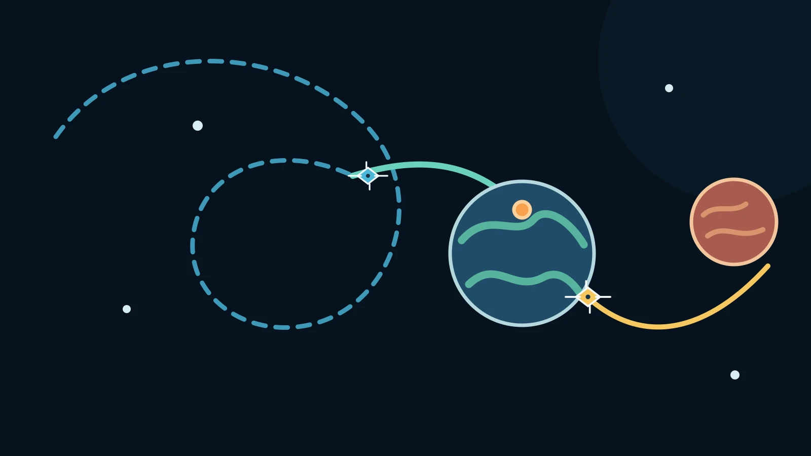
Mars has no network of GPS satellites waiting overhead to tell a rover where it is. Perseverance therefore combines two kinds of navigation: visual odometry, which follows terrain features and wheel movement from one short step to the next, and a newer method called Mars Global Localization that can compare a much wider view with a map from orbit.
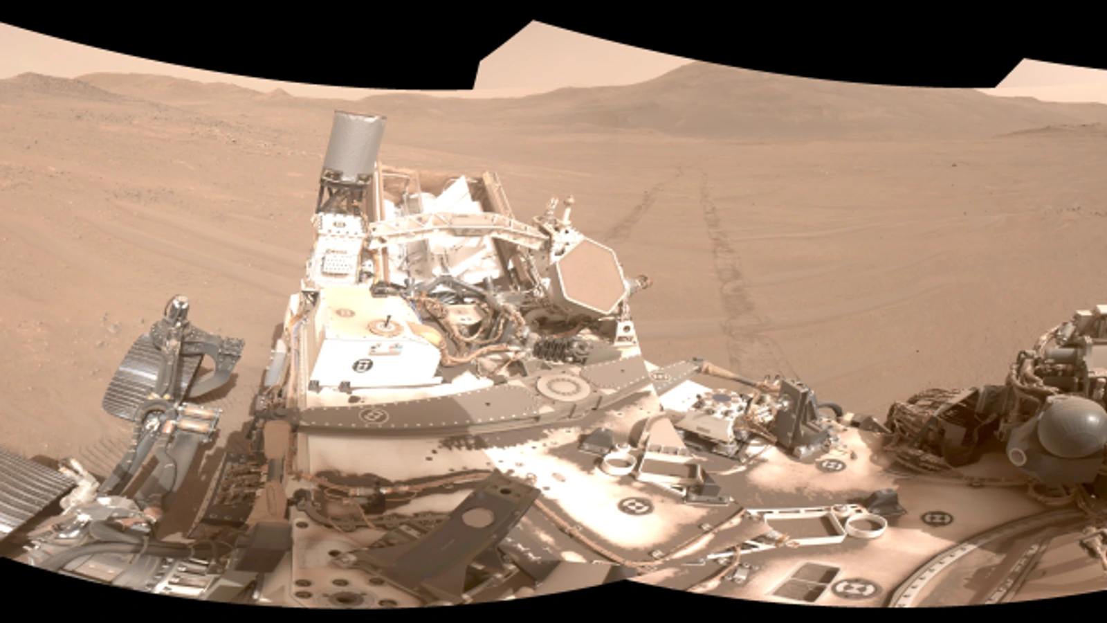
The wide view begins with five stereo pairs of navigation-camera images. NASA says those images can be assembled into a 360-degree panorama and an overhead view called an orthomosaic. The actual rover panorama at the top of this article is the documentary starting point: it is the terrain Perseverance can see, not a satellite-navigation signal.
Before Mars Global Localization, Perseverance normally sent a panorama to Earth after a drive stopped. Mapping experts matched it with imagery from NASA's Mars Reconnaissance Orbiter, then sent the rover its location and the next instructions. That loop could take a day or more. The new method moves the comparison onto the rover's own hardware.
How a panorama becomes a map match
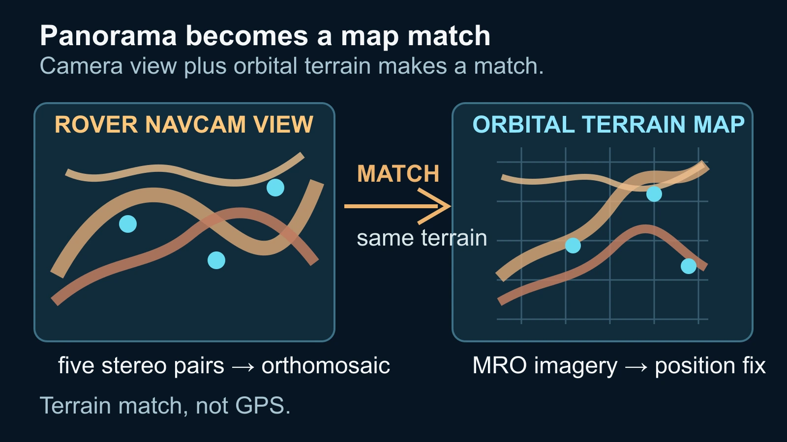
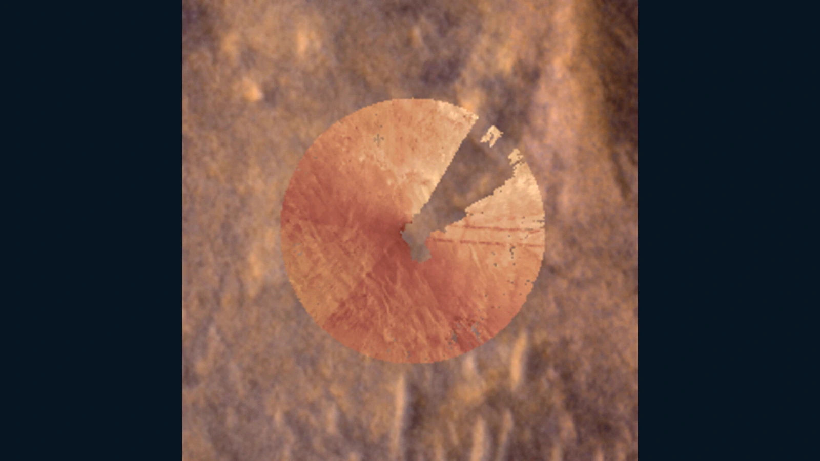
Mars Global Localization compares the terrain pattern in Perseverance's navigation-camera panorama with terrain in orbital imagery from the Mars Reconnaissance Orbiter. Features that are separated in the rover's view can be turned into an overhead shape, then searched for in the much larger orbital map. The useful output is the location that makes the two views line up.
This is a recognition problem rather than a simple distance count. A rover may know that its wheels have turned and that nearby rocks have moved across the camera frame, but those local clues accumulate uncertainty as the drive grows. An orbital image supplies a broader reference frame: the same crater rim, ridge or other terrain pattern is seen from above and used to reanchor the rover.
NASA reports that the onboard algorithm takes about two minutes to pinpoint Perseverance's location within roughly 10 inches, or 25 centimeters. The result is a map match produced from real terrain evidence. It is not GPS, and it is not a promise that the rover can navigate without a planned route, a functioning camera or the other systems that make a Mars drive safe.
Why visual odometry needs an absolute reset
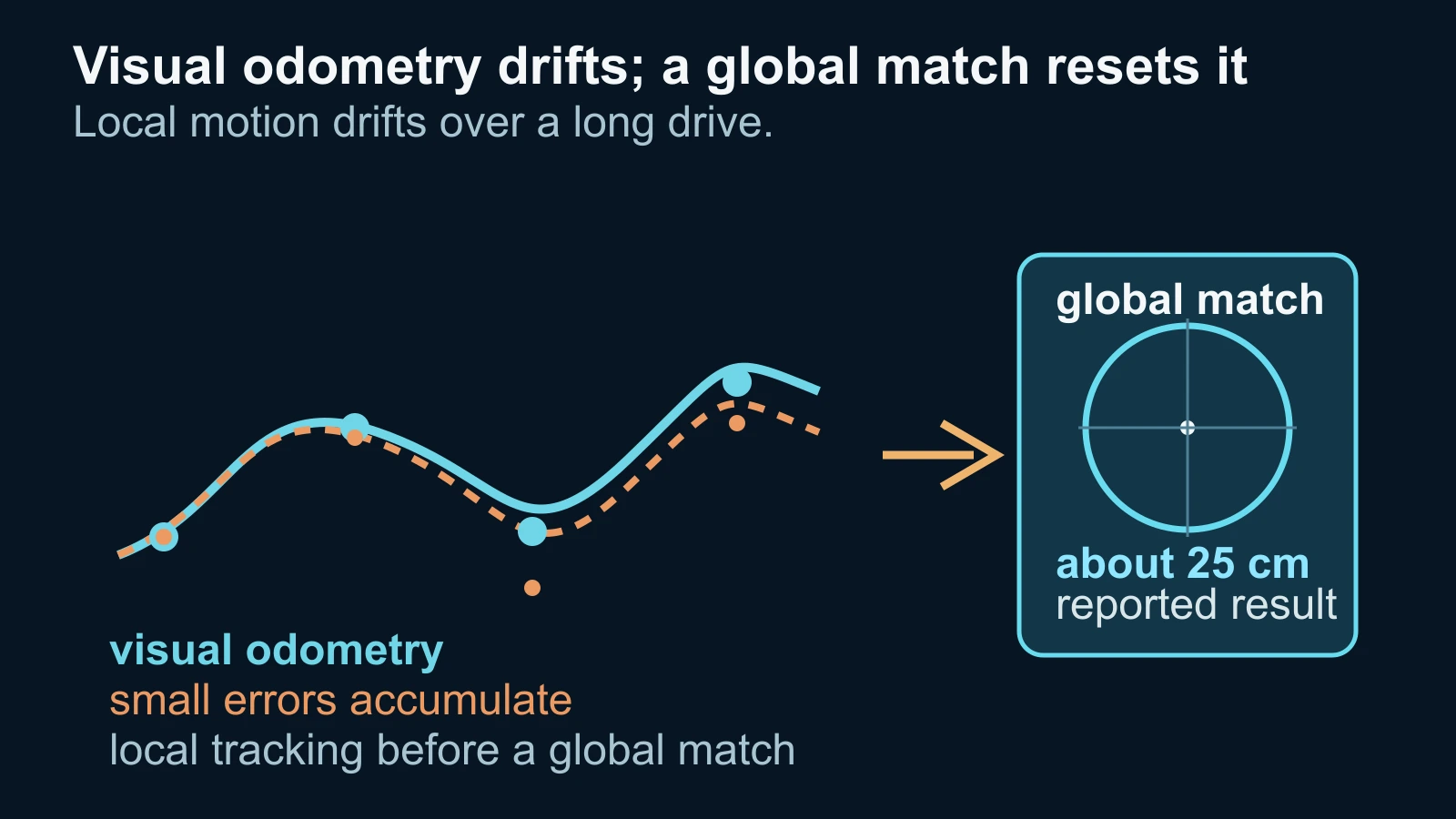
Visual odometry remains useful because it tracks the rover's movement continuously. Perseverance analyses geologic features in camera images taken every few feet and accounts for wheel slippage. But each small measurement has uncertainty. NASA's Photojournal account says that on long drives those errors can add up until the rover's estimate is off by more than 100 feet, or up to 35 meters.
That growing uncertainty changes the driving decision. If Perseverance thinks it may be too close to hazardous terrain, it can stop early and wait for people on Earth to confirm that it is safe to continue. A global localization result gives the local odometry a new absolute reference, so the rover can know where its accumulated path sits on the orbital map.
The faster processor that makes the comparison practical came from the Helicopter Base Station Perseverance originally used to communicate with the now-retired Ingenuity helicopter. NASA describes a sanity check in which the algorithm runs multiple times and a rover computer checks that the results agree. The hardware shortcut and the software check are part of this mission's demonstrated implementation, not a universal recipe for every planetary vehicle.
What the 2026 demonstration proves—and leaves open
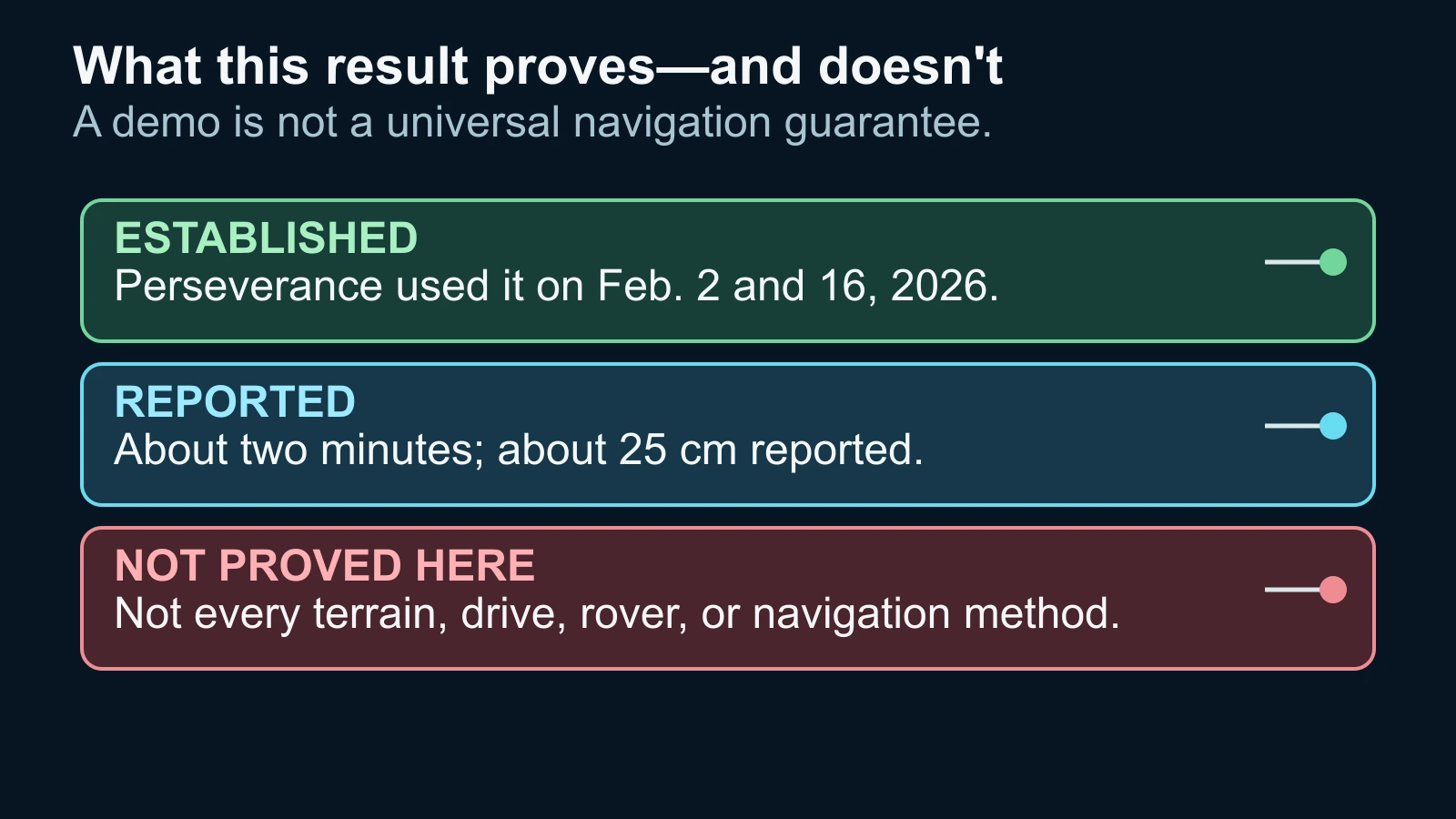
NASA says Mars Global Localization was first used successfully in regular mission operations on February 2, 2026, and again on February 16. Earlier testing used data from 264 rover stops, and the algorithm correctly pinpointed the rover's location for every stop in that test set. Those are meaningful evidence points: the method moved from a research problem into a working Perseverance operation.
The result still has a careful boundary. Two successful operational uses and a reported roughly 25-centimeter position fix do not show that every Martian landscape contains enough distinctive features, that every drive will finish with the same accuracy, or that every rover can run the same algorithm. The source also does not turn an onboard position fix into an independent Mars-wide navigation network.
What is established is narrower and more useful: Perseverance can use its own panorama, orbital terrain imagery and onboard computation to reset where it believes it is. That lets the rover explore farther with fewer localization pauses. The broader promise—that this approach could help other rovers traveling fast and far—remains a direction for future missions, not a result already demonstrated across them.
Sources and further reading
This article was written for Curiosity Desk. We do not copy other publishers or invent quotes. If a material error is found, we correct it openly.
Read the full standards →One answer should lead to a better question
Bring your curiosity to the group
Curious Minds is our public Facebook community for surprising science, strange history, Australian wildlife and everyday questions. No copied posts, no personal-friend invitations and no link dumping.
- Three self-contained discussion prompts each week
- Sourced answers and honest uncertainty
- Respectful conversation without spam