Why a satellite needs reference objects at all
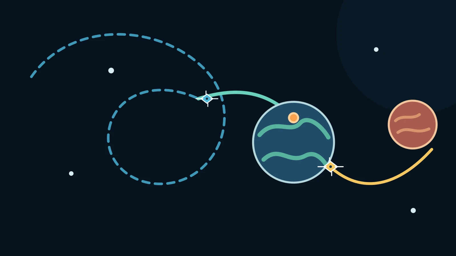
FALCON's answer begins with a limitation: a spacecraft cannot assume that a navigation network will always be available. NASA describes the Starling experiment as GPS-independent navigation for environments where signals can be unreliable or unavailable, including lunar or deep-space settings. The spacecraft therefore looks outward and uses objects in the scene as reference points.
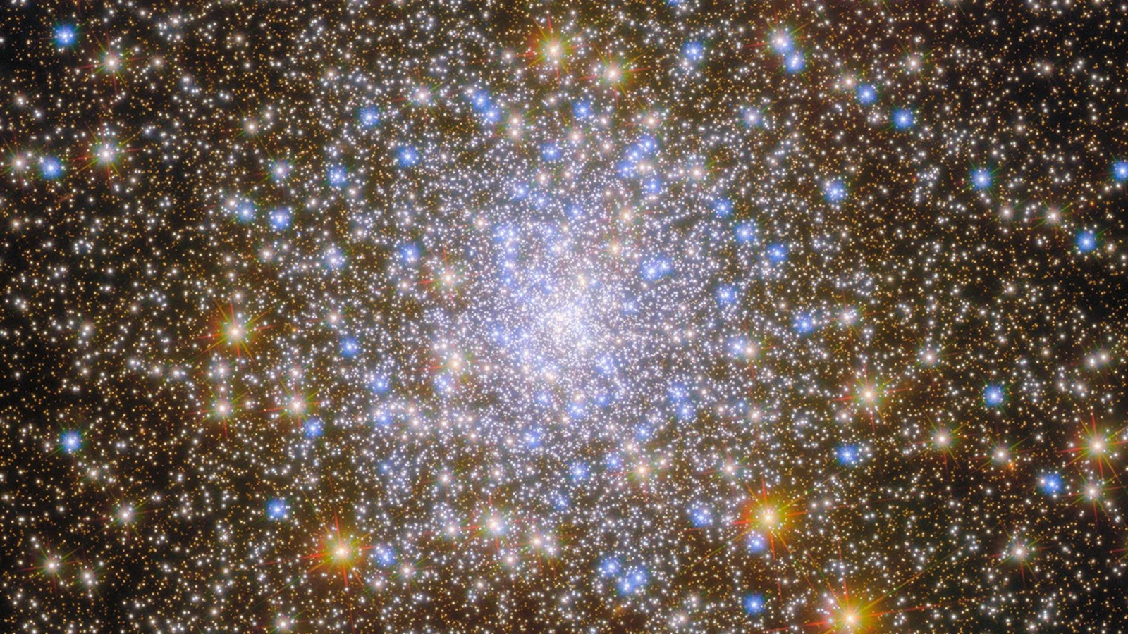
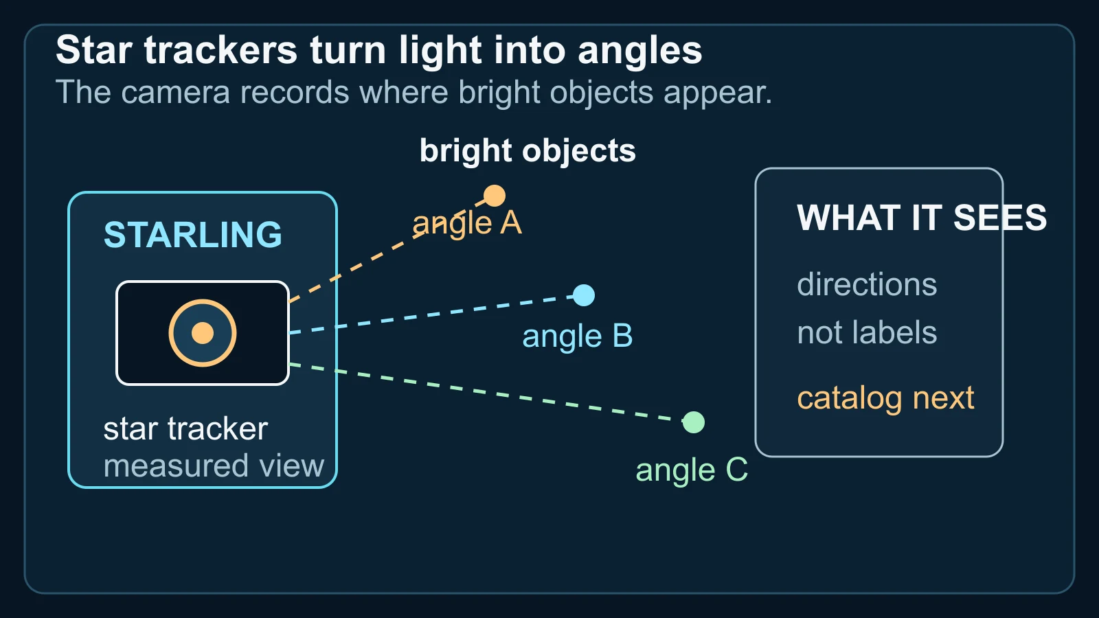
Starling's onboard star-tracker cameras are standard instruments for identifying bright objects and helping a spacecraft determine its orientation and position. In this experiment, the important first output is not a name. It is a set of measured directions: where the camera sees bright points against the sky.
That distinction matters because a camera view is not automatically a map. The observed points have to be compared with information about known objects and their predicted orbits. Once the observations and the catalog agree, the objects can provide the geometry needed to estimate where Starling is in its own orbit.
How cameras and a catalog work together
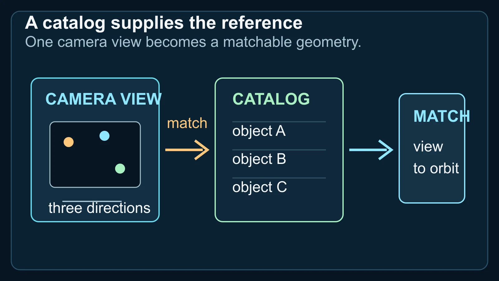
NASA says FALCON matched objects seen by Starling's cameras—including other spacecraft and orbital debris—to a catalog of known space objects. The mission team loaded the full catalog, approximately 20,000 objects and their predicted orbits, onto the spacecraft. The catalog is the reference layer that gives the camera's directions possible identities and orbital context.
The matching step is closer to geometric bookkeeping than to a photograph recognising a familiar face. FALCON correlates what the camera observes with the catalog predictions, then uses the observed and verified objects as reference points to determine Starling's orbit. In a separate experiment, the same observations helped refine the predicted orbits of the objects being watched.
This is why the phrase ‘navigate by recognising other objects’ is useful but incomplete. The spacecraft does not need every point of light to be recognisable. It needs enough reliable matches between measured directions and catalogued orbital possibilities to constrain the position and motion of the spacecraft and the objects around it.
What an orbit estimate—and the 200-object result—means
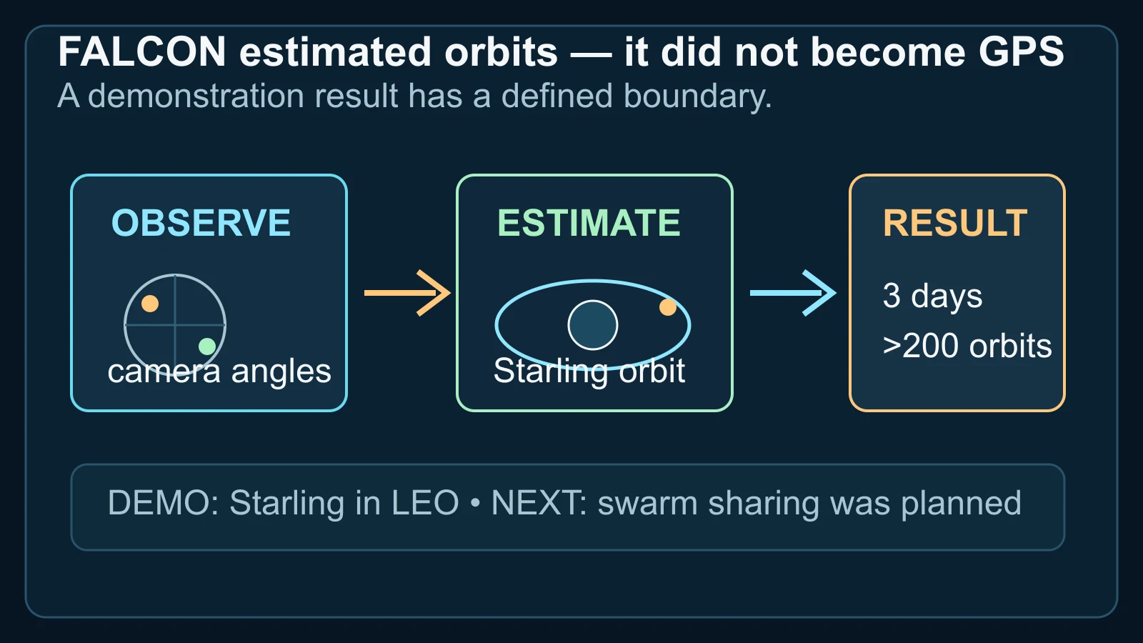
NASA reports two connected FALCON results. The self-orbit capability used optical observations of other objects as reference points for Starling's own orbit. The catalog-update experiments used the observations to improve the known orbits of the objects Starling was tracking. During a three-day period, the mission improved the known orbits of more than 200 objects without intervention from operators on the ground.
That is a meaningful demonstration of onboard estimation: the spacecraft processed observations and catalog information in flight instead of waiting for a ground station to supply every update. NASA also says the onboard predictions for those objects were better than the current catalog data in the experiment. The result is about a tested method and a bounded set of observations, not a universal accuracy guarantee.
The diagram keeps the result in that scale. It shows directions becoming an orbit estimate, then labels the reported three-day and more-than-200-object outcome. It does not turn the number into a claim that every satellite can now navigate autonomously, or that every observed object had the same quality of estimate.
Where the FALCON demonstration stops
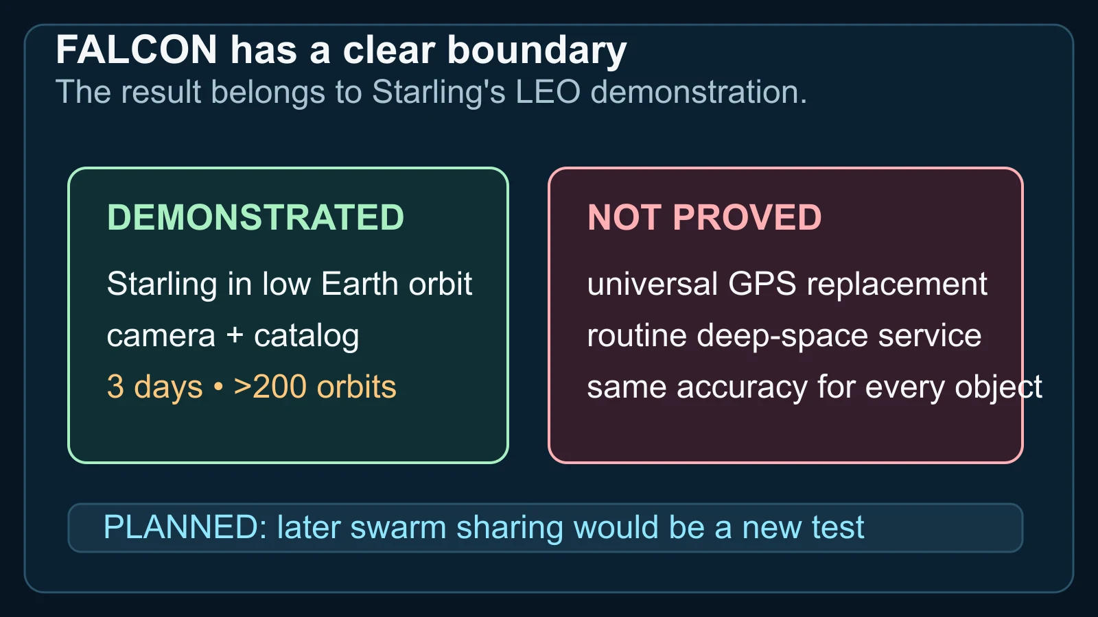
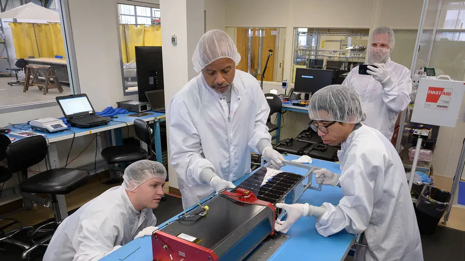
Starling is a four-spacecraft technology demonstration in low Earth orbit. NASA's TechPort record describes StarFOX's onboard optical-navigation work as detecting and tracking spacecraft positions and orbits against stars and spaceborne objects, and marks the project complete. FALCON is a later catalog-based demonstration on that mission; the current evidence establishes what Starling tested in its own orbit, not a finished navigation service for every mission.
NASA points to possible future uses: lunar satellite swarms, distributed science missions, human exploration and space-traffic monitoring. The Starling mission page also describes the value of spacecraft sharing observations and says a later FALCON extension would let the four-spacecraft swarm share tracking data and refine positions collectively. Those are applications and planned extensions, not additional results already demonstrated by the three-day catalog update.
So how can a satellite navigate by recognising other objects? It can use a star-tracker camera to measure directions, match those observations to known objects and predicted orbits, and estimate its position relative to that reference set. Starling showed that this can work onboard in low Earth orbit. The honest next step is to test how far the method travels beyond that specific demonstration.
Sources and further reading
This article was written for Curiosity Desk. We do not copy other publishers or invent quotes. If a material error is found, we correct it openly.
Read the full standards →One answer should lead to a better question
Bring your curiosity to the group
Curious Minds is our public Facebook community for surprising science, strange history, Australian wildlife and everyday questions. No copied posts, no personal-friend invitations and no link dumping.
- Three self-contained discussion prompts each week
- Sourced answers and honest uncertainty
- Respectful conversation without spam