The word resolution hides four different bargains
A dramatic satellite image can tempt the viewer to pinch outward until a person or licence plate appears. Digital enlargement cannot create information the sensor did not capture. Spatial resolution is the ground area represented by each pixel. A 10-metre pixel combines light from roughly a ten-by-ten-metre patch; making that square larger on a screen gives a bigger square, not a hidden face.
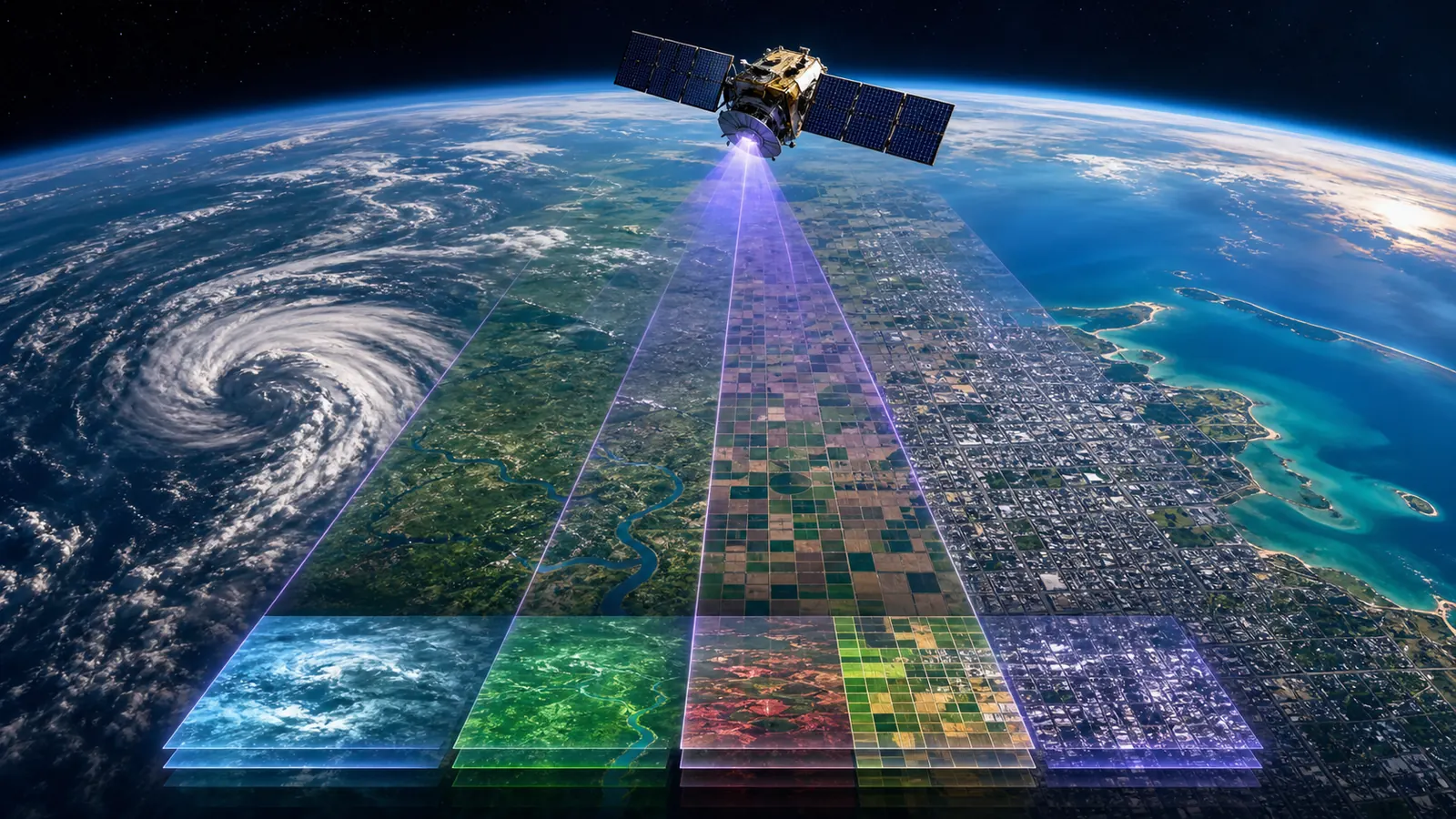
Remote-sensing scientists also consider temporal resolution, how often the satellite returns; spectral resolution, which wavelengths it can distinguish; and radiometric resolution, how finely it separates energy levels. A system can excel in one dimension and compromise another. The best image is not always the sharpest. It is the dataset whose trade-offs match the question.
A weather satellite sacrifices the street to keep the whole storm
Geostationary weather satellites watch nearly the same hemisphere continuously from far above Earth. Their pixels may represent kilometres, but the wide, frequent view shows cloud systems forming and moving. A high-detail commercial satellite can show individual houses or vehicles over a much smaller area, often with less frequent coverage and different access limits. Both images can be excellent while looking radically different.
NASA explains that Earth-science instruments often favour landscape or planetary-scale coverage. Landsat imagery supports long records of forests, farms, water and cities, while weather systems supply rapid observations. If the question is which driveway contains a car, a wide climate sensor is wrong. If the question is how a flood connects across an entire river basin, the close-up may hide the most important pattern.
Some of the most valuable colours are colours human eyes cannot see
Satellite instruments can measure reflected or emitted energy beyond visible red, green and blue. Scientists assign those bands to display colours, creating false-colour images that reveal vegetation health, burned areas, temperature or moisture differences more clearly. The result is processed, but 'false colour' does not mean false data. It means the display translates an invisible measurement into a visible comparison.
Clouds create another trade-off. Ordinary optical sensors cannot see the surface through thick cloud simply by zooming. Radar instruments transmit microwave energy and can often collect useful surface information through cloud and at night, but the image represents radar backscatter rather than a familiar photograph. Thermal sensors reveal emitted heat patterns. Each instrument answers a different physical question.
Seeing an object is not the same as identifying a person
A pixel small enough to show a car-shaped object may not contain the detail needed to identify its make, number plate or occupant. Interpretation also depends on angle, shadows, haze, processing and what the analyst already knows. A series of images can reveal change—new construction, floodwater or vegetation loss—even when no single frame contains a cinematic close-up.
The practical test is to ask four questions before believing a claim: what is the pixel size, how recent is the acquisition, which wavelengths were measured, and what processing created the displayed colours? Then ask whether the claimed object is larger than several pixels and whether another source confirms it. Satellites can reveal astonishing patterns from orbit. Their power comes from measured scale and repeated observation, not an infinite zoom button hidden outside the frame.
The best answer may come from another wavelength or another day
Optical cameras record reflected light and can be blocked by cloud, smoke or darkness. Radar instruments send energy and measure the return, revealing surface structure through clouds and at night. Thermal sensors measure emitted infrared energy, while other bands can distinguish water, vegetation, minerals or fire. A spectacular natural-colour image is only one slice of a much larger remote-sensing toolbox, and it is not automatically the most informative slice.
Revisit time creates a second trade-off. A sharp image from one pass may show more detail, while frequent lower-resolution observations can expose motion and change sooner. Analysts often learn more by comparing calibrated images across days or years than by enlarging a single frame. If a viral post claims a satellite has captured a decisive secret, the missing question is often temporal: was this one ambiguous moment, or a consistent pattern that appeared again?
Sources and further reading
This article was written for Curiosity Desk. We do not copy other publishers or invent quotes. If a material error is found, we correct it openly.
Read the full standards →One answer should lead to a better question
Bring your curiosity to the group
Curious Minds is our public Facebook community for surprising science, strange history, Australian wildlife and everyday questions. No copied posts, no personal-friend invitations and no link dumping.
- Three self-contained discussion prompts each week
- Sourced answers and honest uncertainty
- Respectful conversation without spam