The reservoir covered a living town, not an ancient mystery
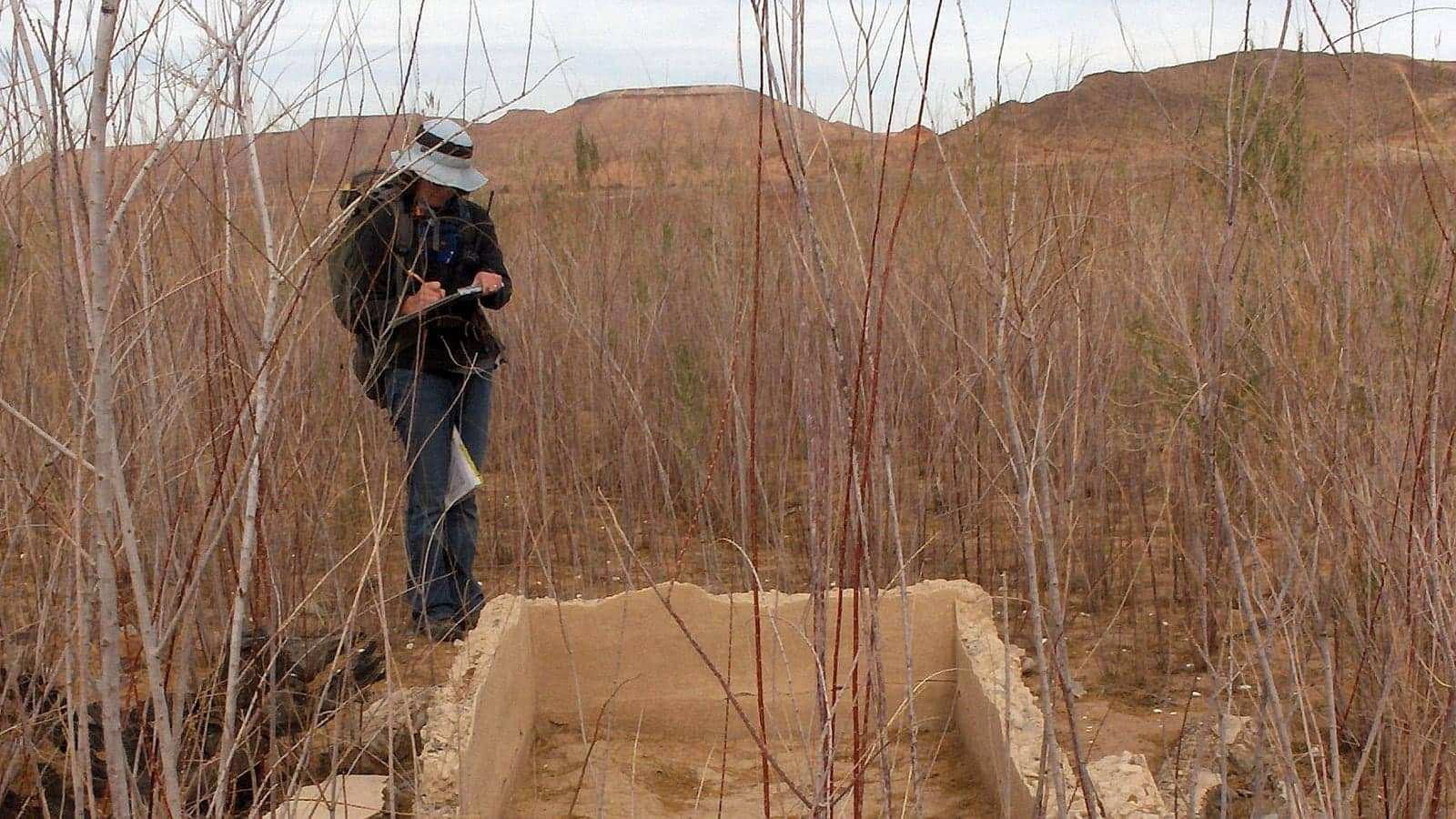
The foundations visible near Lake Mead's Overton Arm belong to St Thomas, Nevada, a settlement founded by Mormon pioneers in 1865 at the meeting of the Muddy and Virgin Rivers. Its location made farming possible and later placed the town on the Arrowhead Trail between Los Angeles and Salt Lake City. At its peak, roughly 500 people used its school, post office, shops, church, garages and soda fountain.
St Thomas is sometimes blurred together with the region's much older archaeology. Ancestral Puebloan and Basketmaker communities lived in the area long before nineteenth-century settlers. Across the river was an Ancestral Puebloan settlement that became popularly known as the Lost City, now interpreted through the Lost City Museum in Overton. The town emerging from Lake Mead is St Thomas; the two stories share a landscape but not an identity or period.
The distinction makes the ruins more, not less, interesting. St Thomas was recent enough to have photographs, written memories and former residents who returned for reunions. Yet the physical town passed through an experience normally associated with deep time: occupied ground became lakebed, disappeared beneath tens of feet of water, then returned to sunlight when the reservoir retreated.
Hoover Dam moved the waterline across the town
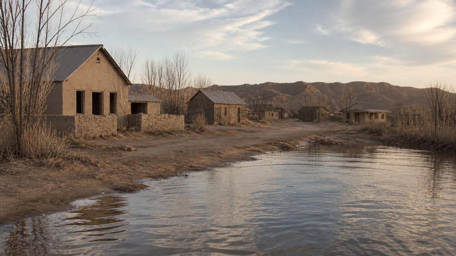
Congress authorised Boulder Dam, later named Hoover Dam, in 1928. The structure would impound the Colorado River and create Lake Mead, so low ground along the Muddy and Virgin Rivers was marked for inundation. Residents of St Thomas were told to relocate and were to be reimbursed for their property. The lake began filling in 1935, transforming an engineering project far downstream into a slowly advancing shoreline at the town.
National Park Service history records Hugh Lord as one of the last residents to leave. In 1938 he paddled away as water reached his front door. At Lake Mead's high-water mark, the town site lay about 60 feet below the surface. That depth is measured above the former streets and structures, not evidence that the town sank. The ground stayed where it was; the reservoir rose around it.
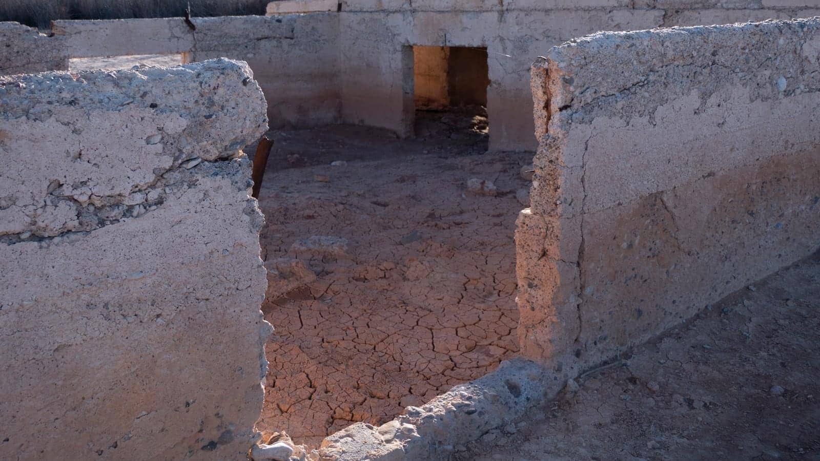
Water changed what survived. Roofs and timber buildings did not remain as a cinematic town frozen intact. What visitors encounter are roads, foundations and fragments whose visibility depends on elevation. Sediment, weathering and repeated wetting and drying have altered the site. The honest picture is an archaeological landscape exposed by water-level change, not a complete drowned town suddenly lifted from the lake.
A falling lake turns elevation into a historical clock
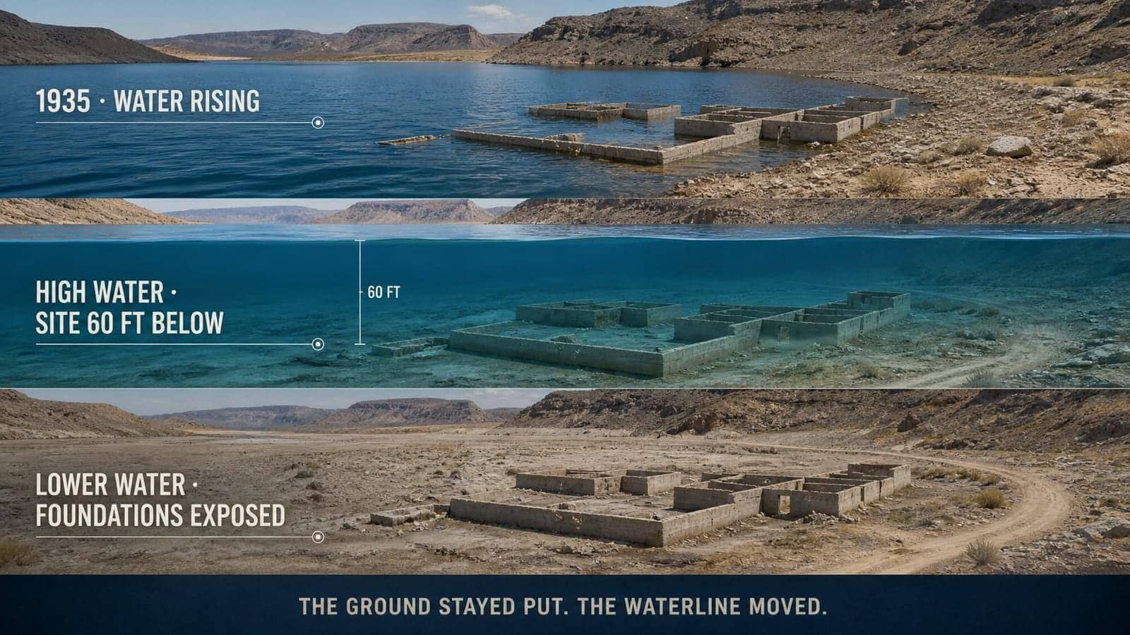
Lake Mead's level fluctuates as water enters, is released and is lost through evaporation, while long drought and heavy demand have contributed to major declines. When the surface drops below the elevation of St Thomas, the former lakebed becomes land again. The National Park Service says the town has emerged several times since 1938 and remains exposed, allowing people to follow old streets on a loop trail.
That repeated appearance is why 'discovered ghost town' headlines can mislead. Former residents and their families held reunions when the site was accessible, including in 1945, 1963 and 2012. Park historians have long known what the ruins are. What changes is not the identification but the boundary between water and air. Each lower level reveals a little more of a mapped, documented place.
The ruins make reservoir scale legible. A number on a water-level chart can feel abstract; a road that alternates between lakebed and hiking trail gives the same change a human reference. St Thomas is therefore both a town history and a measuring stick. Its foundations show how one engineered lake rearranged lives in the 1930s—and how the modern Colorado River system continues to redraw which parts of that history we can see.
Seeing the site also carries responsibility. Exposure does not turn archaeological material into souvenirs, and a dry-looking lakebed can still be fragile terrain. The park's route and current access information matter because water level, road condition and heat can change. The best visit reads foundations in place: a former town plan whose meaning depends on remaining connected to its landscape, not a collection of objects to remove from it.
The site is also a reminder that a reservoir's footprint is three-dimensional. Shoreline on a map shows only where water meets land today. Beneath that line are terraces, channels and former properties at many elevations. As the surface rises or falls, it intersects a different slice of that buried topography. St Thomas becomes visible when one particular slice crosses the old town's elevation.
Sources and further reading
This article was written for Curiosity Desk. We do not copy other publishers or invent quotes. If a material error is found, we correct it openly.
Read the full standards →One answer should lead to a better question
Bring your curiosity to the group
Curious Minds is our public Facebook community for surprising science, strange history, Australian wildlife and everyday questions. No copied posts, no personal-friend invitations and no link dumping.
- Three self-contained discussion prompts each week
- Sourced answers and honest uncertainty
- Respectful conversation without spam