World Explained · Earth and environment
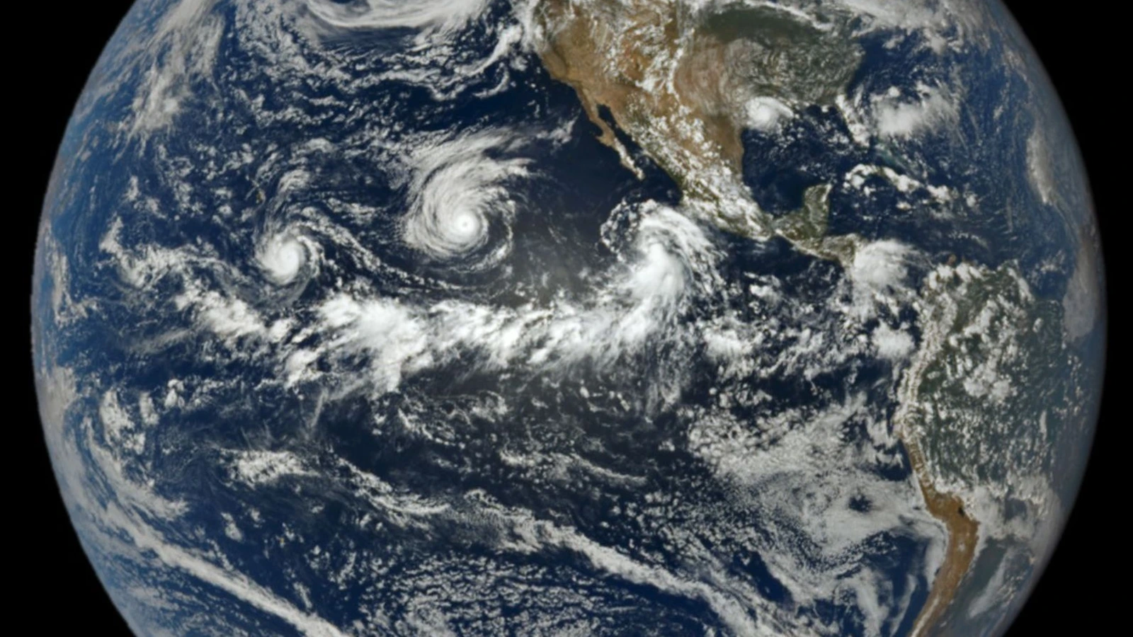
How satellites reveal an unusually busy Pacific cyclone season
A NASA EPIC image caught three Pacific cyclones at once. Here is what the 2026 count, basin definitions and El Niño can—and cannot—tell us.
Curiosity Desk category
Every published story filed under Earth and environment, newest first. Each one passed the same source, image and editorial checks.
9 published storiesNewest first
World Explained · Earth and environment
A NASA EPIC image caught three Pacific cyclones at once. Here is what the 2026 count, basin definitions and El Niño can—and cannot—tell us.
World Explained · Earth and environment
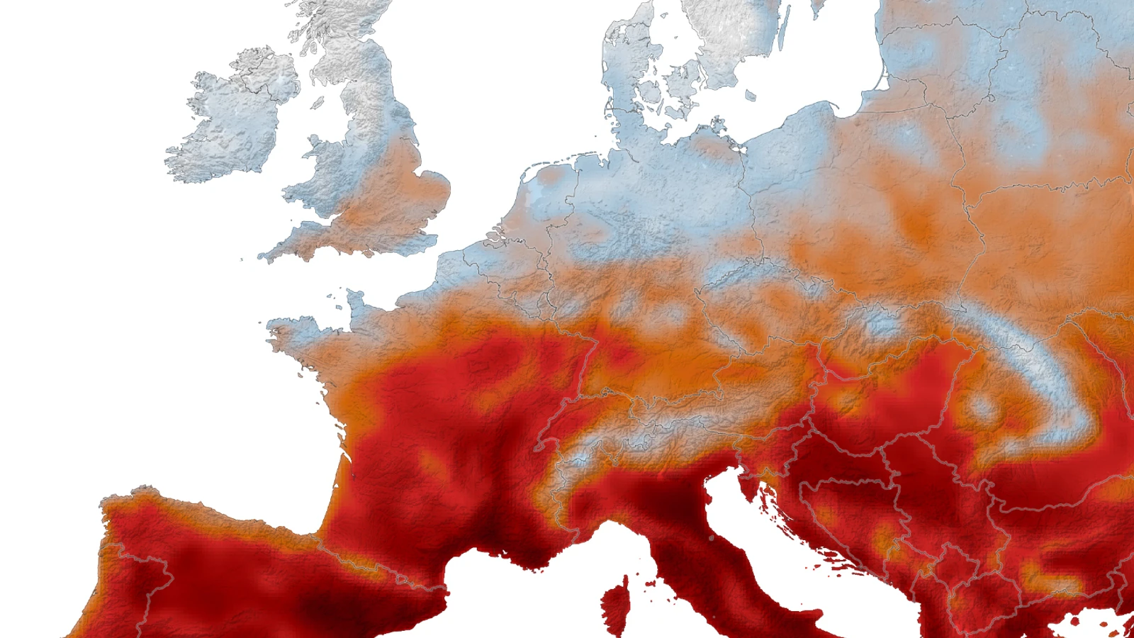
NASA's GEOS-FP model combines satellite observations and atmospheric physics to map daily maximum surface-air temperature across Western Europe during summer heat waves in 2026.
World Explained · Earth and environment
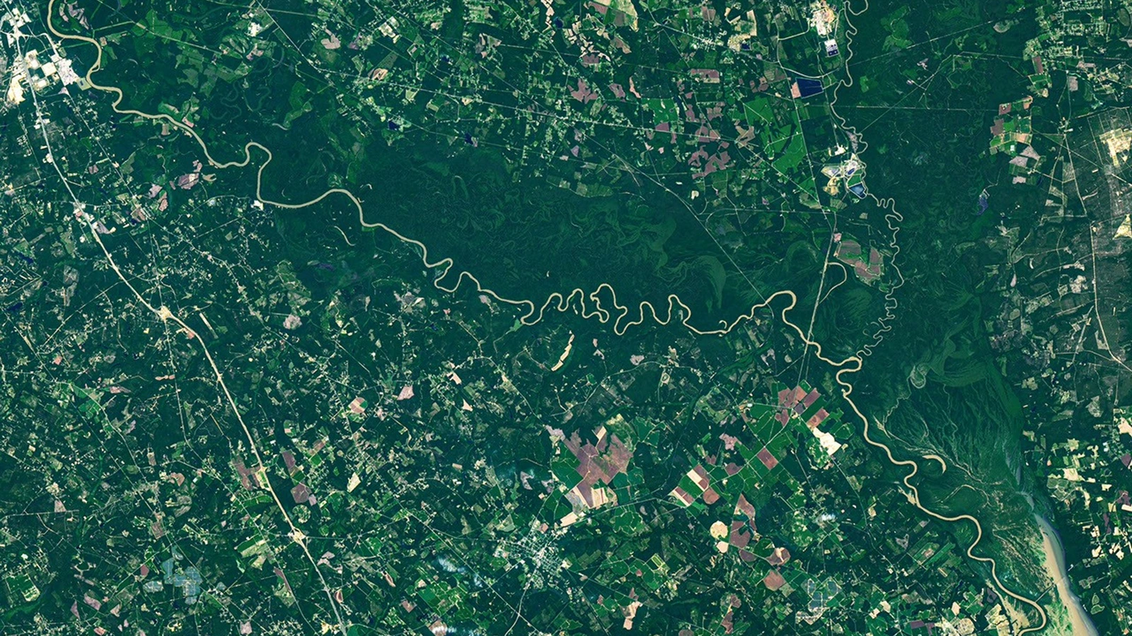
A river can erode one bank, build the other and leave an old channel behind. Here is how oxbow lakes and floodplain habitats emerge.
World Explained · Earth and environment
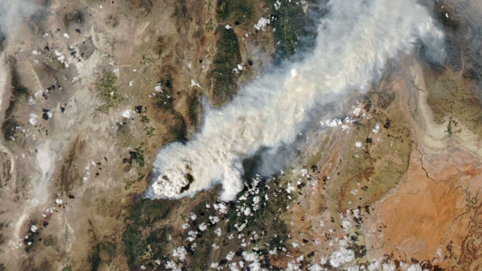
Pyrocumulonimbus clouds can lift wildfire smoke toward the stratosphere. Here is how satellites find the high cloud, how SAGE III reads aerosol layers and what INSPYRE is testing.
World Explained · Earth and environment
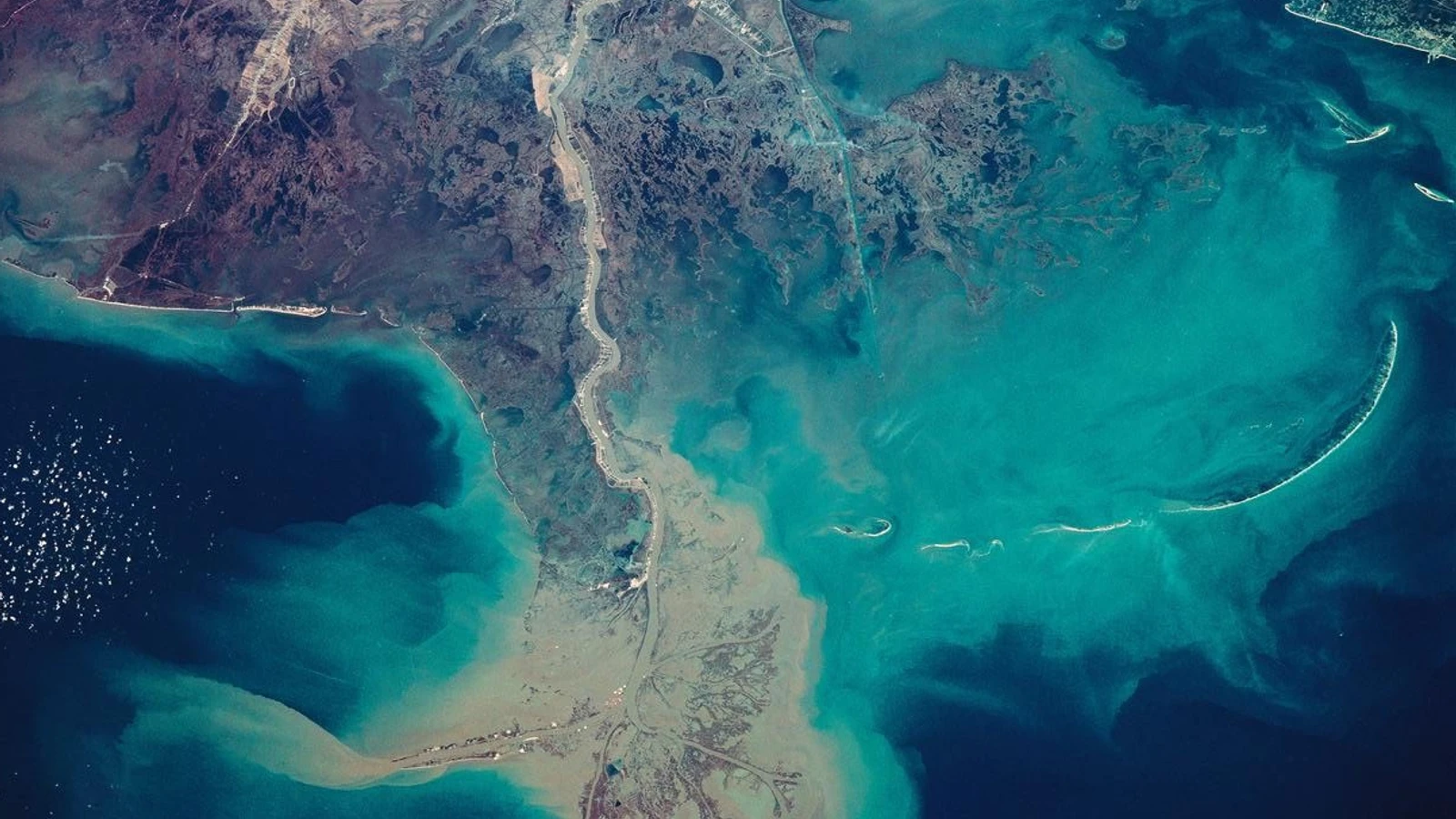
New NASA-supported research tracks carbon moved by coastal marsh erosion—and why land-to-ocean transfer is not the same as direct air emission.
World Explained · Earth and environment
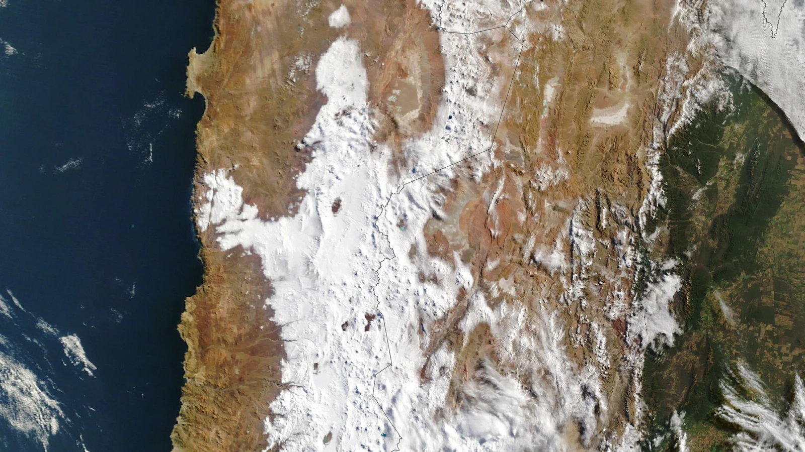
NASA's August scenes show snow crossing a desert that rarely sees it. Here is how Landsat, MODIS and a cutoff low fit together—and what the event does not prove.
World Explained · Earth and environment
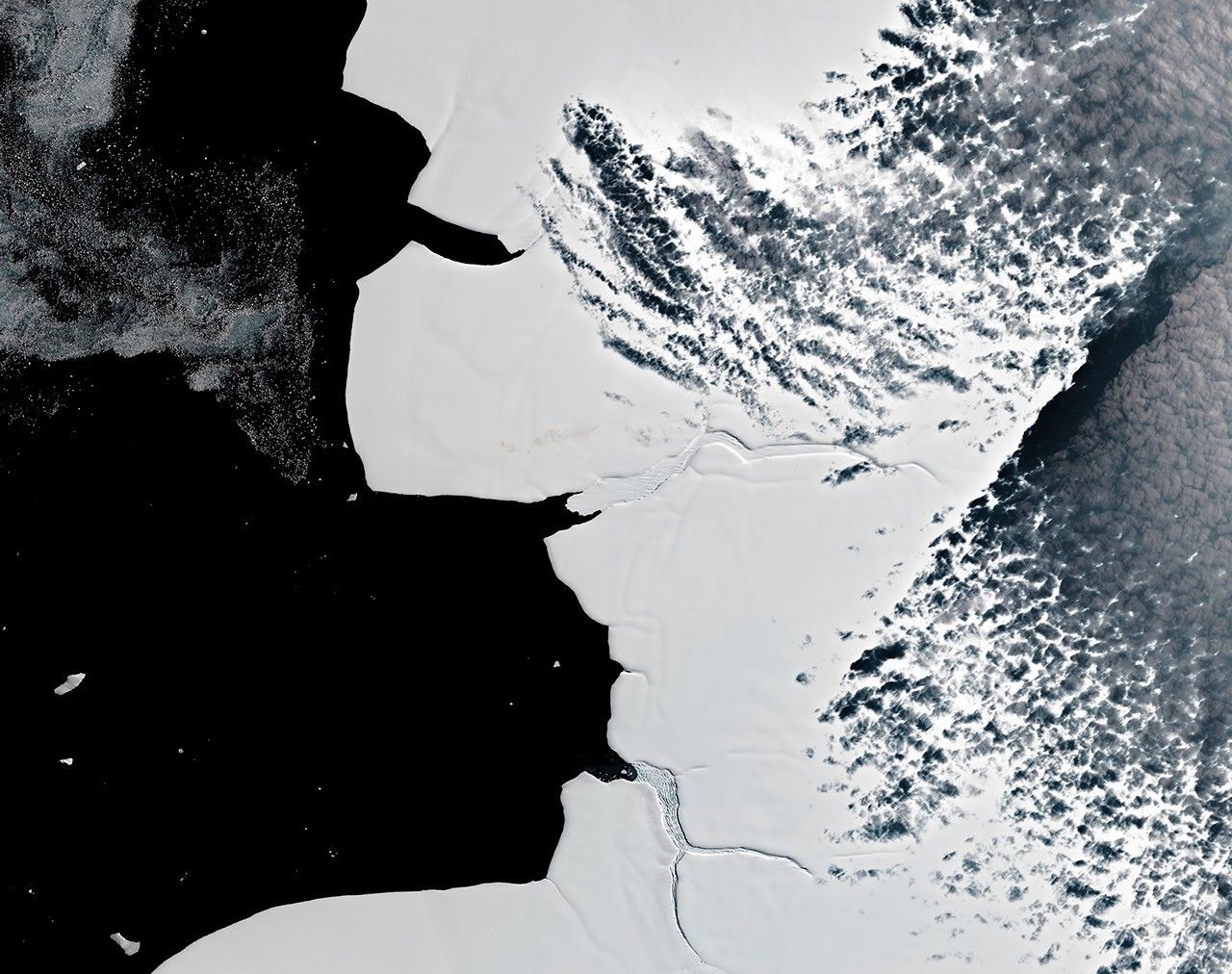
Landsat cannot count individual emperor penguins, but decades of scenes can reveal guano traces, colony moves and sea-ice context.
World Explained · Earth and environment
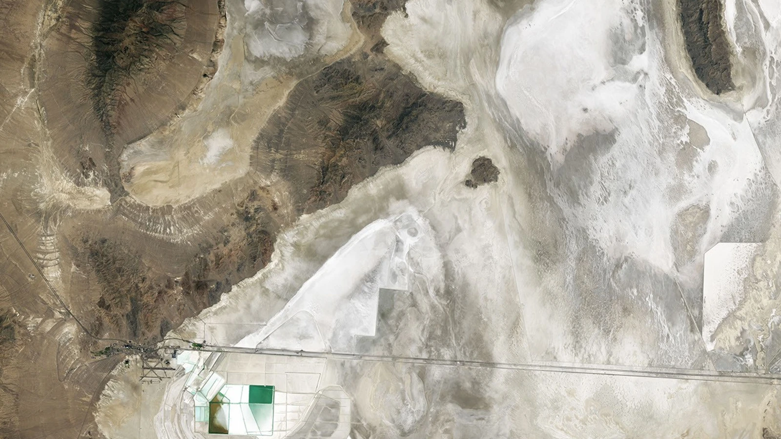
A Landsat image still shows the shorelines of ancient Lake Bonneville. Here's how a vanished lake became a map—and an Earth test for planetary cameras.
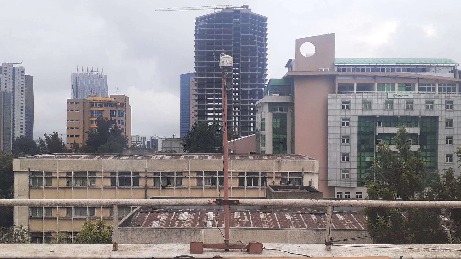
World Explained · Earth and environment
A three-year Addis Ababa monitoring network combines PM2.5, black carbon, timing and air-mass trajectories to narrow source patterns without turning a model into a health verdict.